Walk Routes"Where east
meets west - creating a path for a purpose" |
All the routes start from in or around Oxted, in the areas of Limpsfield, Limpsfield Chart, Hurst Green and Tandridge.
Oxted lies on the meridian line, where east meets west. The Greenwich Meridian separates east from west in the same way that the Equator separates north from south. A plaque commemorates this outside Paydens Chemist at 20 Station Road East in Oxted (51.257401, -0.001560) . Walk details will be posted below prior to the dates they are set. |
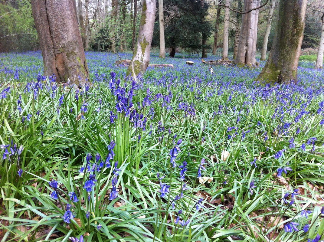
Beautiful BluebellsThis was our first walk and at the best time of year when the beautiful bluebells form a carpet of blue under the shade of the woodland. The walk within Staffhurst Woods is a marked footpath.
Full details of the walk can be found on ifootpath here and Map my Walk here. Find our more about our walk here. |
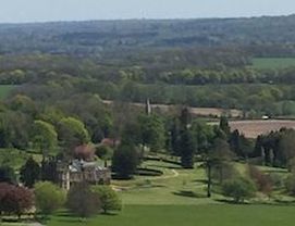
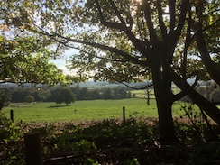
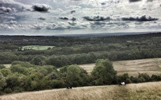
Amazing ViewsOur second walk around the wonderful Titsey Estate. At the top of the ridge the views are amazing looking from the manicured grounds of Titsey Estate across the Oxted and far beyond.
The route and elevation can be found on Map My Walk. Amazing views event details can be found here. |
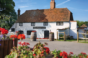
Charted TerritoryWe will weave through the woodlands of Limpsfield Chart starting our walk from the popular Carpenters Arms pub.
The route and elevation can be found here on Map My Walk. Full details of the walk can be found here. |
Botley BeatFrom the beautiful Botley Hill Farmhouse to the Titsey Estate. Great for watching the sun set over the hills.
The last time we did this walk it was 30 degrees centigrade! Find our more about Botley Beat. |
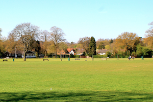
Walk in the ParkA lovely stroll around Master Park in Oxted past the church and around a field. Perfect for a lunch time break.
Find our more about our Walk in the Park here. Photo by InTandridge. |
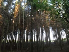
Woodland WonderStarting at Limpsfield Royal British Legion, our walk crosses the Limpfield Golf course and ventures into the wonderful woodland where the National Trust have been busy.
Find our more information on our Woodland Wonder walk here. |
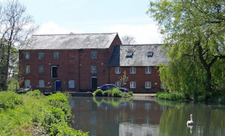
Mill MeanderStarting at Oxted Community Hall, we weave our way around the back of St Marys Church, along to old Oxted and Oxted Mill, returning via Master Park.
Find out more about our Mill Meander walk here. |
Howards Hill HikeStarting from Boulthurst Way in Hurst Green Oxted this short 2 mile walk takes us up to Howards Hill where, on a clear days, the views over the countryside are magnificent.
Find out more about our walk here. |
Tandridge TrampStarting at the Haycutter in Hurst Green, near Oxted, our hike crosses the pretty Broadham Green and up a slight hill towards Tandridge Village and back again.
Find our more about our walk here. |
Bell Barrow and BeyondWalking past the Old Bell into Sandy Lane then across the fields and Barrow Green Road. Past Mohamed Al- Fayed's House, over the M25 and up a very steep hill where you will be rewarded with a magnificent view. Back down again end with a refreshment stop or lunch at the Old Bell.
Find out more about this walk here. |
Haycutter TrailStarting at the Haycutter in Hurst Green, near Oxted, our hike crosses the fields towards Old Oxted. We head towards Tandridge Golf Course along to Tandridge and back through the pretty.
Found out more about this walk here. |
Other routes and websitesSurrey County Councils guide - here.
Surrey Hills Area of Outstanding Natural Beauty - here. Visit Surrey - here. Get Surrey - here. National Trust - here. GPS Routes - here. Go4awalk - here. All trails (previously ifootpath) - here. Map my walk - here. walk4life to find walks around the area www.rowmaps.com shown below. |

